Where are we?
Start with the globe, find a continent and zoom into a country. Ask learners to describe its position before naming it.

MapSnap for UK & US teachers
Turn a map lesson into something pupils can explore, build and talk about. A practical companion for geography lessons, small groups and home education.
Designed for children and families · Ideas below focus on ages 9–12
Explore together. Think out loud.
Start with the globe, find a continent and zoom into a country. Ask learners to describe its position before naming it.
Use puzzle pieces to talk about neighbours, borders, coastlines and relative position. Ask what clues helped a piece fit.
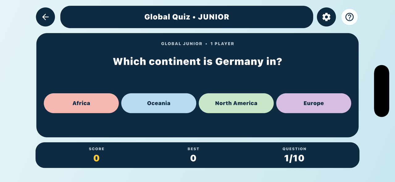
Follow a map activity with a short quiz or an oral question. Ask learners to explain the answer, then return to the map to check it.
Two starting points
Suggested activities to adapt to your class and local curriculum.
Move from the four UK countries into English cities and selected rivers and mountains. Use England’s counties for a further location challenge.
A 20-second iPhone demonstration of UK country pieces, English city locations and physical geography. All information is visual; sound is optional.
Travel from the globe into the USA, then watch West Coast states snap into place. Connect the big picture with state borders, neighbours and relative location.
USA Globe Dive (MSV-001): a 34-second journey from the interactive globe into the USA, ending with West Coast state pieces joining the map. Sound is optional.
Ready to try
One device per pair works well for these ideas. Let one learner navigate while the other explains; swap roles halfway through.
UK · 10–15 minutes
Exit question: “How would you describe that city’s location to someone who cannot see the map?”
US · 10–15 minutes
Exit question: “Which two states did you connect, and what helped you decide?”
UK & US · 15 minutes
Exit question: “What is one place you can now locate that you couldn’t before?”
These are suggested classroom activities, not a claim of curriculum certification or a complete scheme of work. Timings are suggestions. Some activities require MapSnap World.
One app. Different starting points.
Use Explorer for directional help, Adventurer when learners are ready for fewer cues, and Pathfinder for a harder spatial puzzle where supported.
Junior and Senior Quiz levels give another way to adjust the challenge. Choose by confidence and prior knowledge rather than treating the levels as age tests.
Pair the app with discussion, an atlas or a classroom map. The most useful question may be “How did you work that out?”
Planning classroom use
No MapSnap account is needed. Progress and scores stay on the device; MapSnap has no teacher dashboard, class roster or remote pupil reporting. Use discussion and your own observations to assess learning.
Gameplay works offline after installation. Buying or restoring MapSnap World requires internet access. Check the activities you plan to use on the classroom device before the lesson.
Yes—take turns navigating, placing pieces and explaining choices. For whole-class demonstration, use your school’s existing display setup if it supports sharing an iPad screen.
Try the free activities first. MapSnap World adds more activities through a one-time in-app purchase. Before planning use across multiple managed devices, contact us and discuss the purchase setup with your school’s device administrator.
Use the Project42 Apps contact form, choose MapSnap and tell us your country, year group or grade, and the topic you want to teach. Please use an adult’s contact details and leave out pupils’ personal information.
Let’s make geography click
UK primary or secondary, US elementary or middle school, or home education—we’d like to hear how MapSnap could help your learners.
Your next discovery starts here
Start with the free activities on iPhone, iPad or Android.
Unlock more with a one-time MapSnap World purchase.
Local price shown in your app store